Location of Downes Field
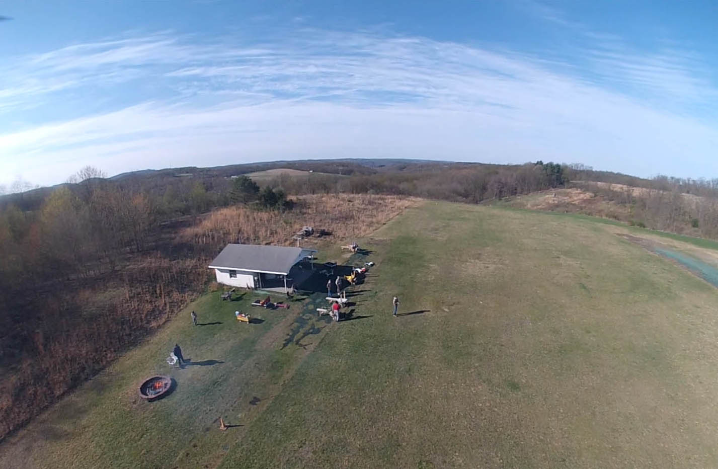
Our flying field is a full-scale private airport, where we are allowed to fly our planes with permission of Dennis Downes, the owner.
In our Flying Rules, you will find some special protocols needed to ensure your safety and most
importantly, the safety of any full-scale aircraft which might be using
the field or making a low pass over the field.
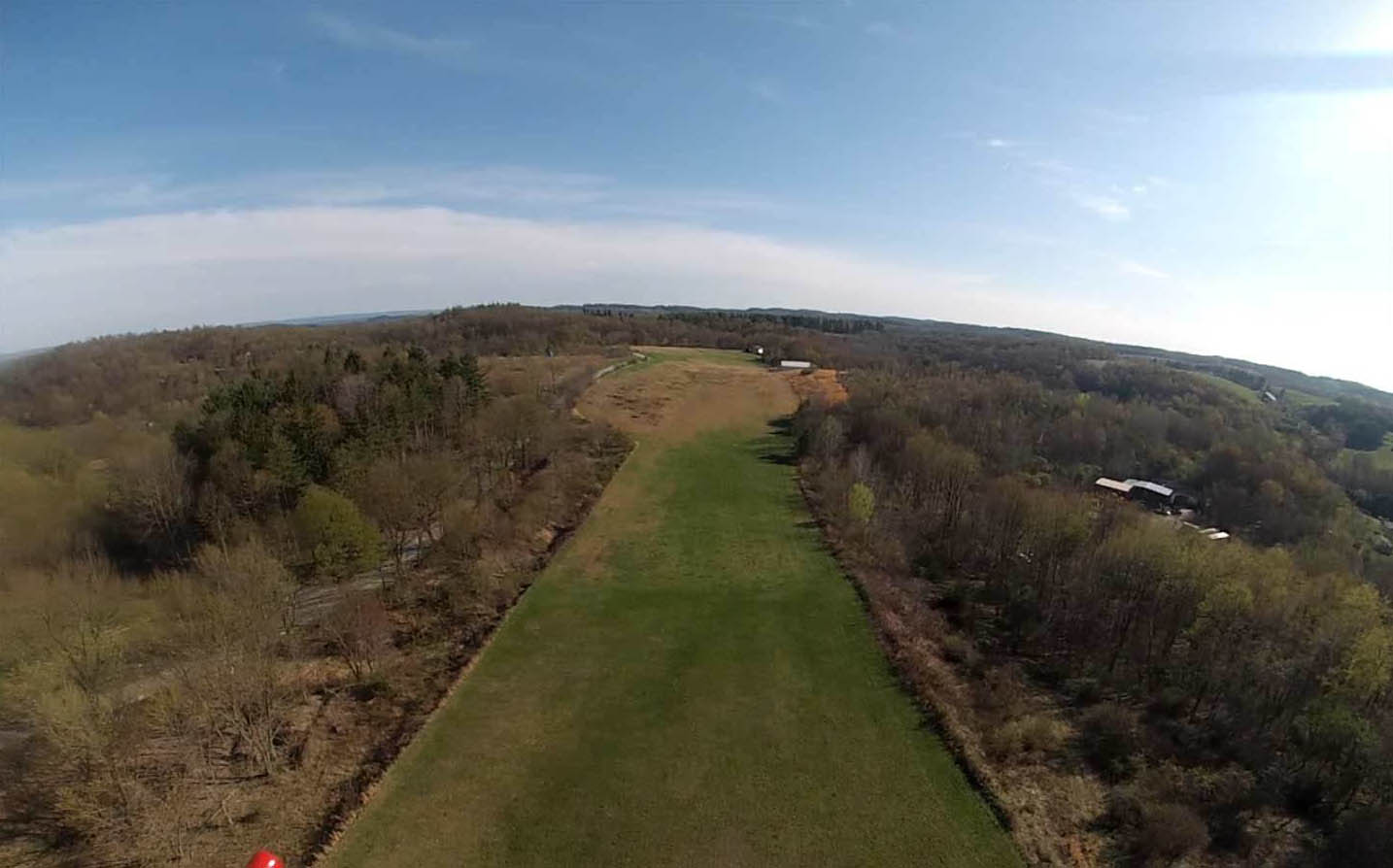
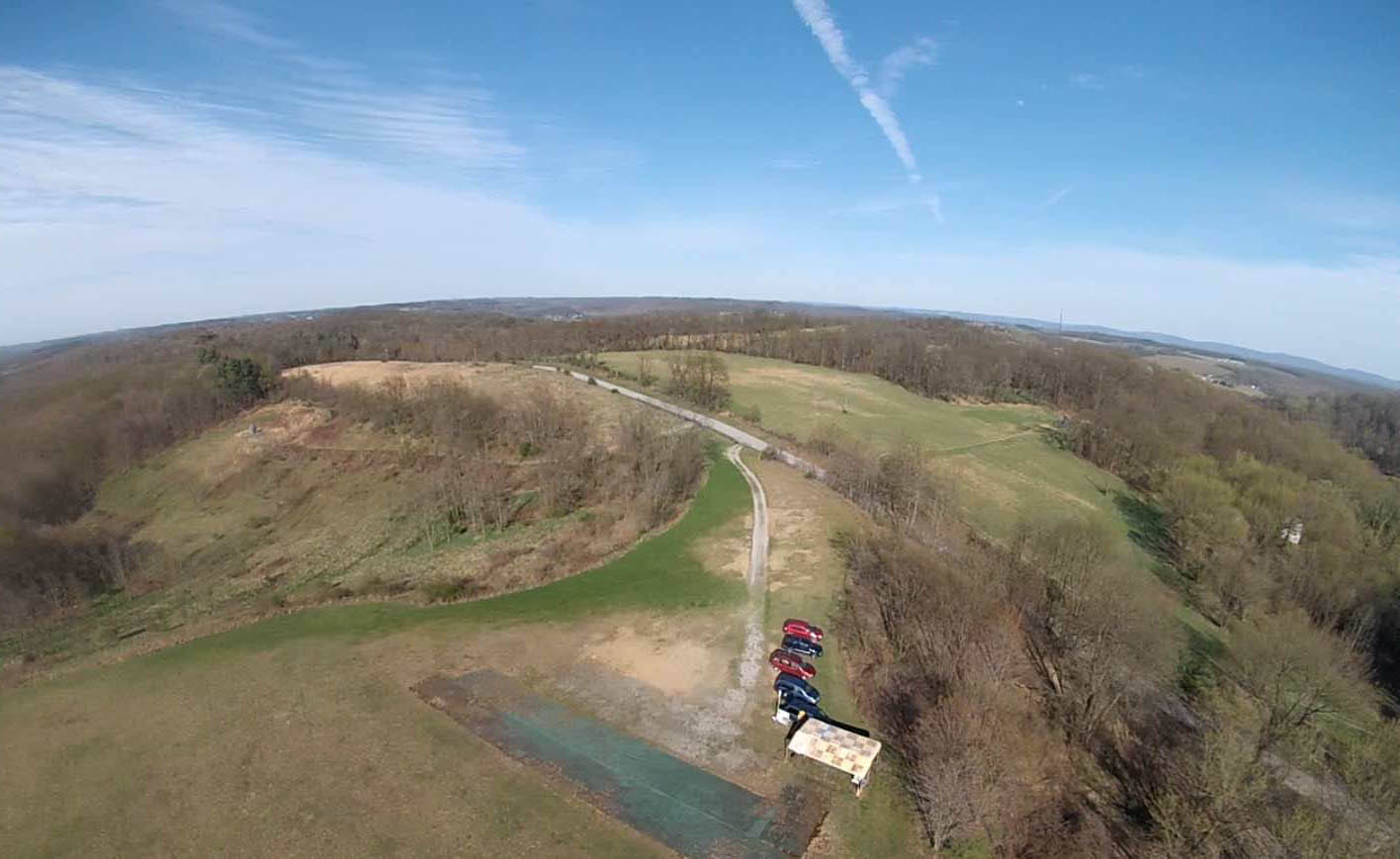
Parking is in the area just inside the gate. Ridge Road runs SSW to NNE roughly parallel to the grass runway.
Model flying may be taking place from either side of the runway, depending on time of day.
Driving across the runway is prohibited.
Should the pilots and flight stations be located across the runway (West Side), it is important to wait until waved across.
These model aircraft may be flying low at speeds ranging from 25 mph to over 100 mph. The pilots will be
concentrating on the planes, and most likely will not see you. Crossing without permission leads to the possibility of being hit by a low-flying plane and must be avoided.
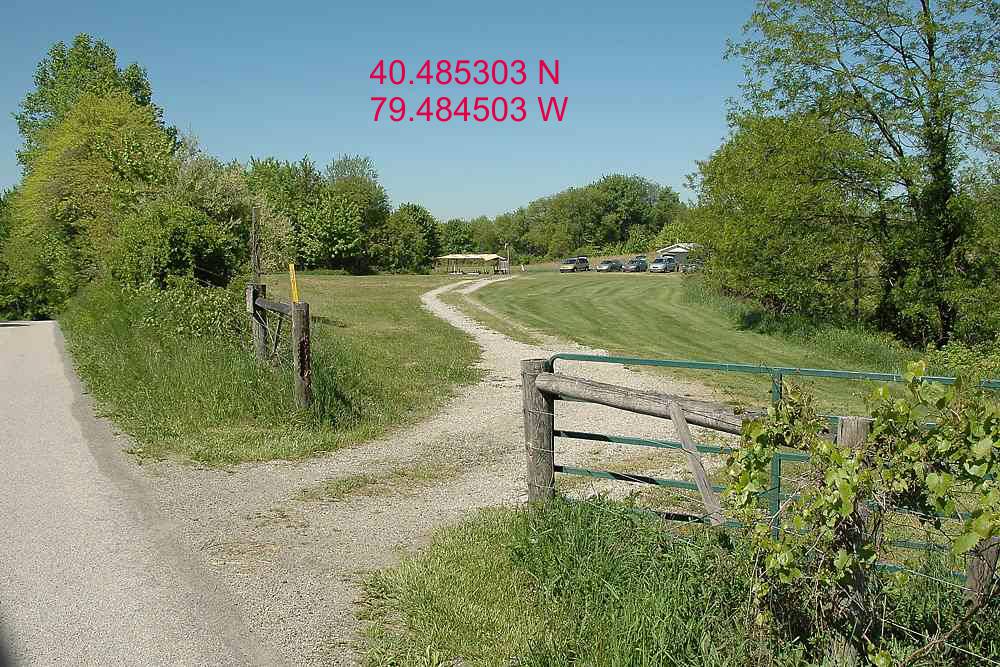
Below is a view of the gate off Ridge Road facing West along with the geographic coordinates.
Click on the photo below for a map showing road access to the site.
The map is displayed in an Adobe Acrobat PDF file which can be easily printed on 8.5 x 11 paper.